TL;DR — World Bank Land and Poverty Conference Edition
Blog Post
Kristi Blokhin / Shutterstock.com
March 25, 2021
In a typical year, today would mark the close of the World Bank Land and Poverty Conference, an annual gathering of more than 1,000 land rights researchers, funders, implementers, and activists. We’ve missed the last two years of the World Bank conference (OK, we’ve mostly missed the receptions). With these postponements, we’ve also missed learning about groundbreaking research coming out of the land space.
This digest samples some of the most interesting land rights research and writing from 2020 and 2021. It’s presented in TL;DR format — an American slang expression that stands for “too long, didn’t read.”
Read on to catch up on the last year’s happenings in the time it takes to drink your morning coffee.
- Pastoralism and Conflict in the Sudano-Sahel
- The NCAER Land Records and Services Index
- How does gender affect the perceived security of land and property rights? Evidence from 33 countries
- Linking welfare distribution to land records: a case-study of the Rythu Bandhu Scheme (RBS) in Telangana
- Reassessing the Property Tax
- One World, One Health: Recommendations to harness the power of landscapes
- ON EQUAL GROUND, Promising Practices for Realizing Women’s Rights in Collectively Held Lands
- Land privatization and deforestation in a commodity production frontier
- Mapping carbon accumulation potential from global natural forest regrowth
- Où l'on voit des jeunes mettre carte sur table
- Notes from Africa 1: Ethiopia
- How a Young Activist Is Helping Pope Francis Battle Climate Change
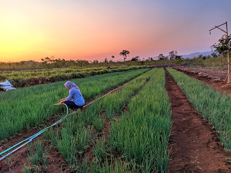
Pastoralism and Conflict in the Sudano-Sahel: A Review of the Literature
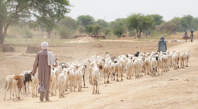
Source: Shutterstock
By Leif Brottem and Andrew McDonnell
Leif Brottem and Andrew McDonnell review the existing literature on pastoralism and conflict in the Sahel region of Africa. In contrast to common perceptions, the authors find little empirical evidence supporting climate change as a primary driver of pastoralist conflicts. Instead, research suggests that socioeconomic and political drivers are generally causing this uptick in violence throughout west and central Africa. Context varies by location, but many times land use change—specifically privatization—along with the weakening of community-level conflict mediation are creating conditions that lead to greater violence.
Brotten and McDonnel find that efforts to mitigate these conflicts can’t be shaped by assumptions related to climate change, migration, and competition over dwindling resources. Instead, their cross-sectoral literature review indicates that we should prioritize strengthening local-level governance structures and dispute resolution practices. In regions increasingly subject to a vicious cycle of mass killings and reprisals between pastoralists and their sedentary neighbors, such multi-sectoral development approaches are likely critical for peace.
Read more here: Report Link
The NCAER Land Records and Services Index
Source: Shutterstock
National Council of Applied Economic Research (NCAER)
The 2021 Land Records and Services Index documents critical improvements to India’s land registry system. Researchers surveyed land registries in roughly three dozen Indian states and union territories and found that 33 have digitized land registries, which include both records of rights and cadastral maps. Still, analysis of the quality of records indicates that most land offices must do more to provide real-time and accurate information on transactions, joint ownership, land use practices, and more.
NCAER’s research suggests that record cleaning, admittedly no easy task, is a critical prerequisite that shouldn’t be overlooked during digitization projects. Accessible, transparent, and up-to-date record keeping can help to ease the mountain of land disputes clogging the Indian court system, as well as help to lift millions out of poverty by streamlining access to capital, real estate markets, and other economic opportunities. India’s digital land registries need quantity and quality.
Read more here: Report Link
How does gender affect the perceived security of land and property rights? Evidence from 33 countries

Source: Shutterstock
Joseph Feyertag, Malcolm Childress, Ian Langdown, Anna Locke, Denys Nizalov
This new research from the PRindex team looks at a sample of nearly 55,000 men and women across 33 countries to dig deeper into PRIndex' earlier findings that contrary to popular belief, men and women experience roughly equal levels of tenure insecurity. The study reaffirms that overall, men and women report similar levels of tenure security. However it generates two critical new insights.
First -- women experience significantly higher levels of internal insecurity (i.e. from their family and immediate community, particularly in instances of death or divorce) whereas men experience significantly higher levels of external insecurity (i.e. from outside investment or government expropriation). Second -- while property formalization and documentation is effective in decreasing external tenure insecurity, it is less effective in decreasing internal tenure insecurity.
Together, these findings raise an important question: could land titling be a less effective tenure solution for women than for men, based on the types of tenure threats women tend to face? If so, should land tenure programs look to other ways — like promoting legal empowerment and changing social norms around women’s land ownership — to increase women's tenure security?
Read more here: Report Link
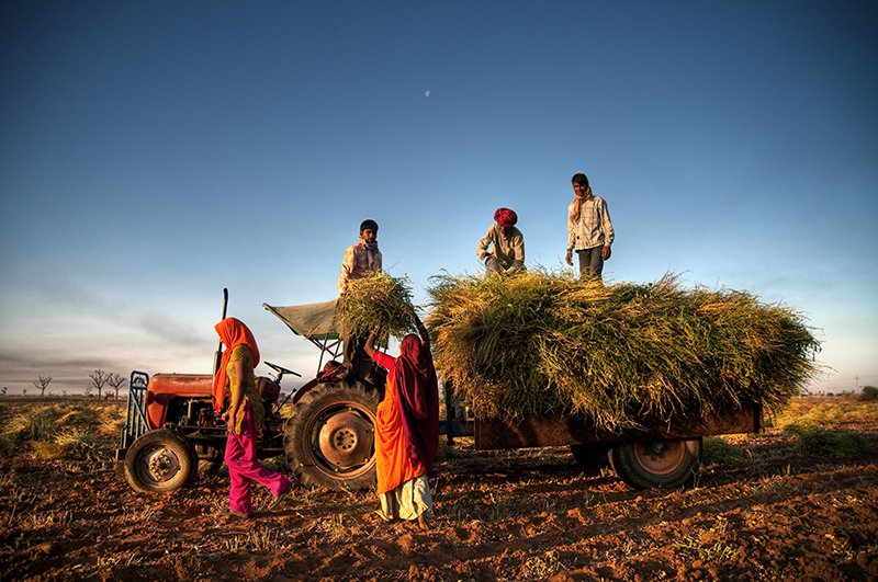
Linking welfare distribution to land records: a case-study of the Rythu Bandhu Scheme (RBS) in Telangana
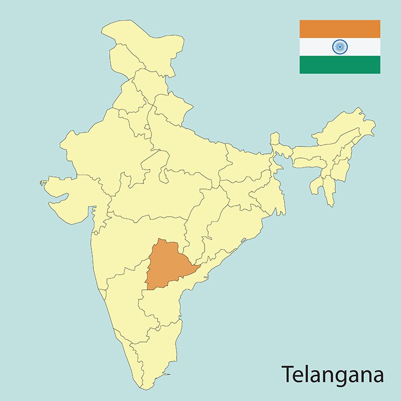
Source: Shutterstock
Susan Thomas, Diya Uday and Bhargavi Zaveri
The Indian government increasingly relies on land records to help distribute cash transfers and other welfare payments. This practice comes with inherent risks: its success is directly linked to the robustness and accuracy of the underlying land records infrastructure, which varies dramatically from State to State.
This report analyzes one such scheme, in the Telangana State, that aimed to provide direct cash payments to 6 million small and marginal farmers, as well as a land records update that the Government of Telangana conducted just before implementing the cash transfer scheme.
The land records program adopted what was essentially a ‘low hanging fruit’ approach: it only recorded ownership (as opposed to other forms of tenure) and concentrated first on parcels that were not in dispute (which accounted for 95% of the land). The program then transferred those records to the State’s agriculture agency, which paid Rs.5,000 per acre to all land owners (but not to tenants), amounting to approximately 10% of a small farmer’s annual expenditures.
Researchers compared cash transfer records with underlying land records and found significant discrepancies, both related to the number of beneficiaries and the acreage covered. The study provides critical recommendations for India’s burgeoning number of cash assistance programs that rely on land records to determine eligibility. It highlights the importance of both land records updating and land tenancy reform to ensure that all farmers, regardless of their land tenure status, have access to such public support.
Read more here: Report Link
Reassessing the Property Tax

Source: Shutterstock
Christopher Berry
Property tax is the single largest source of revenue for most local governments in the United States, and the fairness and accuracy of the tax hinges on the quality of property valuation by local assessors. This paper uses data from millions of residential real estate transactions to show that property valuations are typically regressive, with low-priced properties being assessed at a higher value relative to their actual sale price, than high-priced properties. A property in the bottom price decile pays an effective tax rate that is more than double that paid by a property in the top decile within the same jurisdiction, on average. The result is that property taxes disproportionately burden owners of less valuable homes, often at the bottom of the United States’ economic spectrum.
This work provides important context for America’s tax foreclosure crisis, in which homes are repossessed by banks because homeowners—even those who have already paid off their mortgage—fall behind on their property taxes. In Detroit alone, more than 100,000 homes fell into tax foreclosure between 2012 and 2017.
Read more here: Report Link
One World, One Health: Recommendations to harness the power of landscapes

Source: Shutterstock
Global Landscapes Forum
Written in the midst of the COVID-19 pandemic, this report outlines several recommendations for pursuing integrated development that can help us heal the relationship between humans and the environment. These recommendations are both provocative and uncomfortable because—as the report itself acknowledges—following them requires paradigmatic shifts. The recommendations serve as a challenge to the international development community, daring practitioners to truly revolutionize the way they approach the field.
The report is structured around five ambitious paradigm shifts.
The first is to integrate landscape approaches (which balance competing land use demands for the benefit of human well-being and the environment) with OneHealth approaches (which look at the interconnections between animal, ecosystem, planetary and human health), in particular by including public health perspectives in landscape and ecosystem management.
The second is to transform the way conservation and restoration are financed, by redirecting harmful subsidies, giving local communities a greater say in these financing decisions, and promoting youth employment in conservation and restoration.
The third and fourth paradigm shifts ask us to internalize the interconnections between humans and nature by making knowledge and decision platforms more inclusive, proactively bringing in a diverse range of stakeholders, and putting indigenous and local knowledge and communities at the forefront of conservation and restoration efforts.
The fifth shift asks that we rely on local communities to lead change, instead of embracing top-down approaches. That means scaling small, local successes, centering local activists and storytellers, and ditching traditional development-speak for terms and descriptions that resonate more at the local level.
Read more here: Report Link
ON EQUAL GROUND, Promising Practices for Realizing Women’s Rights in Collectively Held Lands
Source: Shutterstock
Celine Salcedo-La Viña and Renée Giovarelli
Globally, many women still do not have the right to own land . Only 14 percent of the global population of agricultural landowners are women, even though women make up 70 percent of smallholder farmers in the developing world. While women’s tenure security efforts have mostly focused on individual access to land, communal and collectively held land (e.g., forests and pasturelands) are equally important. The World Resources Institute partnered with Resource Equity and local organizations to conduct case studies in five countries with relatively gender-equitable land tenure systems: Cameroon, Mexico, Indonesia, Nepal, and Jordan.
The report assesses each country on the main dimensions of land tenure security (robustness, completeness and durability), and explores the enabling factors and promising practices for securing women’s tenure rights around collectively held lands. The report finds that laws assigning control over common resources to local communities that mandate gender-inclusion pave the way for women to gain tenure rights where they previously did not exist.
At the structural level, the report suggests legislators and regulators provide stronger participatory mechanisms for women in laws and implementing regulations (e.g., mandating gender quotas). At the operational level, it recommends that external and community-based organizations enable women on the ground by helping communities address underlying social norms and cultural beliefs so they can fully benefit from gender-sensitive policies and legislation.
Read more here: Report Link
Land privatization and deforestation in a commodity production frontier
Source: Shutterstock
Melina Faingerch, María Vallejos, Marcos Texeira, Matías E. Mastrangelo
This is the first study to map and quantify the complex interactions between the characteristics of land use decision makers (local vs. extra-local), the bundle of rights they hold over the land (private vs. non-private), and deforestation over such a significant period of time (40 years!).
Typical of other South American regions like the Brazilian Cerrado, the Bolivian Chiquitania, and the Paraguayan Chaco, the Argentine Dry Chaco is a global deforestation hotspot and a commodity production frontier. Indigenous and peasant communities settled on these lands long ago, but many never held legal title, making them vulnerable to land dispossession. At the end of the 20th century, when soybean farmers, cattle ranchers and land investors from richer neighboring counties (extra-local private agents) came to the Argentine Dry Chaco, they acquired large tracts of land by buying land possession rights from indigenous and peasant families (local non-private agents) or by violently displacing them.
This study combines key informant mapping with geospatial data to simultaneously understand who owned the land and changes in land ownership, and to quantify and map changes in the forest cover across the Argentine Chaco. Researchers found that from 1987 to 2006, a 59 percent increase in deforestation was accompanied by a 508 percent increase in extra-local private agents (those from neighboring provinces or counties who have the full ownership of the land).
The findings suggest the relationship between land tenure forms and forest cover depends on certain characteristics of the landowner; in this case, the landowners' place of origin (e.g., whether the landowners were local or extra-local) impacted this complex relationship. Based on these findings, the authors conclude that policies that push forest conversion to agriculture are likely to see a similar relationship between land privatization and deforestation. Adding value to economic activities compatible with forest maintenance (e.g., sustainable forestry, non timber forest production and ecotourism) can decouple land privatization and deforestation.
Read more here: Report Link
Mapping carbon accumulation potential from global natural forest regrowth

Source: Shutterstock
Susan C. Cook-Patton, Sara M. Leavitt, David Gibbs, et al.
A groundbreaking study on natural forest regrowth and carbon sequestration could cause us to rethink the tree-planting frenzy in the fight against climate change. Susan Cook-Patterson and a group of 17 researchers found that the potential for unplanned forests to absorb atmospheric carbon is seriously underestimated, and that natural growth is better for biodiversity and can more quickly and securely capture greenhouse gases than planted trees. The team identified 1.67 billion acres globally that could be set aside for such natural regrowth, with a potential to capture 73 billion tons of carbon over the next three decades. That’s roughly equivalent to 7 years of current industrial output.
The findings suggest a major policy reassessment, especially as governments, non-profits, and businesses around the world race to plant hundreds of billions of trees. Planting projects are considerably time-consuming and expensive, and critics claim that such efforts provide environmental cover for land grabs. Many plantations are also monoculture, full of a fast-growing and non-native tree species, reducing an area’s biodiversity. Cook-Patterson and her colleagues suggest that governments and their environmental partners think more critically about their land use policies, and take into account the utility of natural forest regrowth as a way to mitigate rising temperatures.
Read more here: Report Link
Où l'on voit des jeunes mettre carte sur table
Source: Siyabonga Dlamini / Shutterstock
By some estimates, 300,000 people live in the Mokoko District of Nigeria. But nobody knows for sure because this informal settlement isn’t on any official government maps. Starting in 2019, a group of youth mappers changed that by using drones to map the sprawling district. Not only did the mappers demarcate the outer boundaries of the settlement but they mapped individual streets, homes, shops and businesses. These efforts of putting formerly invisible homes on the map are critical in staving off increasingly aggressive attempts by real estate developers to raze and redevelop parts of Mokoko.
Not only do we love this project, but we love the accessible blog format the authors use to tell this story.
Read more here: Blog Link
Notes from Africa 1: Ethiopia

Source: Shutterstock
Joe Studwell
As a multi-ethnic coalition led by Prime Minister Abiy Ahmed continues to fight against the Tigrayan People’s Liberation Front, journalist Joe Studwell breaks down the conflict in Ethiopia. The author argues that while it’s tempting to view the violence as a result primarily of ethnic tensions, especially given the Tigrayans’ status as the Ethiopian political, economic, and military elite, in fact politicians are simply co-opting this ethnic enmity in order to grab land, resources, and power in East Africa’s rising economic giant.
To prove his claim, Studwell points to problems at the Grand Ethiopian Renaissance Dam on the Blue Nile. The megaproject is marred by corruption, mismanagement, and legal battles on the part of politically-connected contractors. At face value, it’s the Tigrayans versus everyone else. But in reality, Studwell argues, disputes likely center on money and power: the dam will more than double the country’s power output and help to transform a rapidly-expanding Ethiopian economy.
Studwell provides an accessible and condensed take on the complex conflict in Ethiopia, and explains the place of land and resource governance as both a driver and resolution of conflict in the country.
Read more here: Blog Link
How a Young Activist Is Helping Pope Francis Battle Climate Change

Source: Michal Hlavica / Shutterstock
David Owen
As the world’s largest non-state landowner, the Catholic Church holds nearly 200 million acres of land. This land is not just the grounds of cathedrals, covenants, and other religious structures, but farms and forests too. A sincere passion for the environment combined with a deeply analytical and creative mind, Molly Burhans—a devout Catholic since the age of 21—has used spatial thinking to mobilize the Catholic Church to address climate change. She asks, “what if desecration of the environment were a mortal sin? Could faith accomplish what science and politics have not?”
In 2015, when Molly Burhans was in her mid-20s, Pope Francis presented “Laudato Si”, a treatise on environmental degradation, consumerism and global warming. Upon realizing that no central Catholic environmental organization existed, Burhans founded GoodLands, an organization whose first major undertaking was assembling a map of the modern Catholic realm. By harnessing the power of Esri’s Geographical Information Systems (GIS) platform to digitize hand drawn ecclesiastical maps, Burhans was able to bring the Church’s landholdings to life. She then used those maps to shine light on how the Church’s landholdings can be mobilized to better manage its land, preserve environmental assets, and put in place erosion plans to mitigate what is to come. Burhams submitted an ambitious proposal to the Vatican to formalize her role as the “map lady”, extending spatial analysis to issues like evangelization, real-estate management, papal security, diplomacy, and sexual abuse by priests.
While waiting on their response, Burhams will continue developing GoodLands and continue to find innovative ways to leverage the hold of the Catholic Church on both land and people to push for the greater good.
Read more here: Article Link