Drones and Property Rights

An Introduction to Drones
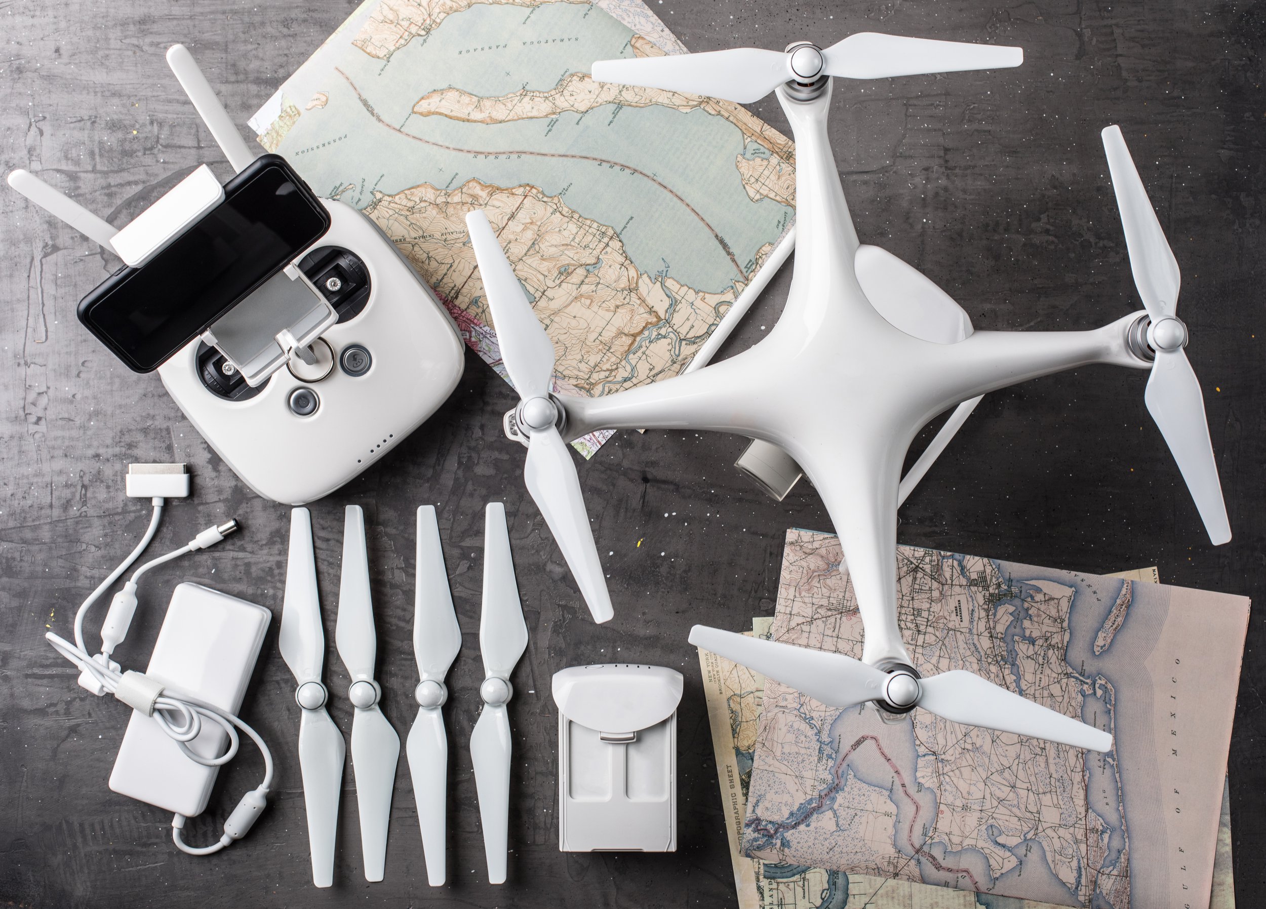
Land surveying and mapping are evolving rapidly due to advances in unmanned aerial system, or drone, technology. A drone is a flying machine—either fixed-wing or rotary—that is remotely controlled or flies autonomously through software-controlled flight plans. Because they are unmanned, drones are cheaper and smaller than manned aircraft, and can perform tasks too expensive or dangerous with a pilot on board. A single drone system is comprised of an aircraft and a ground control station, which operators use to control the drone. The key innovation of drones is the suite of sensors, software, and communications equipment that allows these comparably small and light-weight vehicles to be operated remotely.
Drones are often associated with military surveillance and missile strikes, but there are myriad non-military use cases. For example, drones facilitate the delivery of blood and vaccines to patients across Rwanda,1 help fight dengue on Fiji,2 and crop dust fields in El Salvador.3 Civilian drones also provide sophisticated yet relatively inexpensive platforms for aerial photography and map making.
Why Drones are Important for Property Rights
Many governments are interested in leveraging drone technology to help solve persistent land administration problems. And practitioners around the world are already incorporating this new variety of aerial imagery into their work.
The time, cost, and complexity of conventional land surveying is a significant obstacle to property formalization. The traditional process often takes years, and is sometimes too expensive for a government to complete. For citizens, professional survey costs can make up more than 50 percent of the total expense to receive a land title.4
Drones directly tackle this barrier to formalization by lowering the cost and complexity of surveying. A modestly priced drone—under $600 USD—can produce high-quality and cloud-free imagery in real time. This data can then generate maps to define land and property rights for a fraction of the cost of a traditional survey.
With low maintenance costs and quick deployment, drones can basically map anywhere at any time, weather allowing. Use of drones at the local level, through community mapping initiatives, diminishes reliance on central mapping authorities, while empowering citizens, NGOs, and small, informal networks. Drone imagery can create a basis for formal land documentation, or be a tool for generating maps that communities can use to govern their land and resources. Additionally, indigenous groups and other marginalized populations have used drone imagery to document illegal land grabbing and resource extraction.
The Strengths and Limitations of Drones
Similar to other emerging technologies, drones possess both strengths and limitations for property rights:
Strengths
Drones help to make property mapping faster, cheaper, and more efficient. Small, portable, and relatively inexpensive drones capture high-resolution images using light-weight cameras. Complementary software can process large quantities of data to create a variety of maps, including two-dimensional maps (similar to satellite imagery), elevation models, thermal maps, and 3D maps or models. Often, this drone imagery is as accurate as data produced by traditional methods. Finally, drones allow surveyors to complete difficult projects—in challenging terrain, neighborhoods with crumbling structures, and in areas affected by natural disasters or otherwise dangerous to access on foot.
Limitations
Drones are not the exclusive tool for mapping, but complement other technologies and help fill in any imaging gaps left by satellites and traditional surveying. And the current generation of commercial drones suffers from technical and regulatory limitations.
While models differ slightly, commercial drones are generally hampered by limited battery life, the need for accurate ground control, and high data processing costs for larger mapping projects. Given limited autonomy, as well as speed restrictions, drones can only provide limited territorial coverage during a single flight. Adverse weather, such as strong winds and rain, may also limit a drone's functionality.
Another challenge stifling development of drone technology is the absence of adequate regulatory frameworks. Drone mapping is still a relatively new practice, and many countries, especially in the developing world, lack explicit laws governing drones. Conversely, other governments have enacted knee-jerk laws that severely limit drone use, either explicitly or by making the barrier to entry too high through bureaucratic red tape. The regulatory environment is changing quickly, however. Many governments are actively outlining drone regulations, and international working groups are drafting recommendations to facilitate the implementation of national laws.
Use Cases of Drones for Property Rights
Drones are increasingly deployed for a variety of mapping projects worldwide. Below are a few use cases:
- Slum mapping: In 2017, the Indian state of Odisha passed the Land Rights to Slum Dwellers Act, initiating a program to map and issue titles for land parcels in 2,000 slums that house 1 million people. The project uses drones to capture high-resolution imagery of slums, with the resulting maps utilized to draw property boundaries and assign plot numbers. Following additional, door-to-door data collection and a review of claims, formalized land records are transferred to the state, and occupancy certificates are delivered to homeowners. Over 24,000 certificates were distributed by February 2019.5
- Updating cadastres: In 2013, drone mapping company Micro Aerial Projects completed a World Bank-funded initiative to map both rural and urban land parcels in Albania, where as many as 80 percent of private properties were inaccurately mapped. The drone mapping project provided high-resolution and up-to-date imagery of dozens of parcels, used to revise out-of-date maps. The mapping process itself did not last many hours, but processing the imagery and creating a map took several days.6 Of note, data processing times have improved over the past few years, dependent upon computer power and the software used.
Citations
- Tom Jackson and Devin Hance, “How Delivery Drones Are Saving Lives in Rwanda,” Fortune, January 7, 2019, source
- “How Local Drone Pilots Are Helping to Reduce Dengue in Fiji,” WeRobotics Blog (blog), WeRobotics, December 13, 2018, source
- Chris Baraniuk, “The crop-spraying drones that go where tractors can’t,” BBC, August 3, 2018, source
- Lesley Wynn and Jaime Faustino, “This Land Is Our Land: How Drones Can Advance Property Rights in the Philippines,” The Asia Foundation, November 7, 2018, source
- Brent Jones, “How One Million People in India’s Odisha Slums Gain Land Rights,” Esri Blog (blog), Esri, February 11, 2019, source.
- Faine Greenwood, “Chapter 5: Mapping in Practice,” in Drones and Aerial Observation: New Technologies for Property Rights, Human Rights, and Urban Development, by Konstantin Kakaes et al., 51-52, Washington, D.C.: New America, July 2015, source