
Konstantin Kakaes
Future Tense Fellow; International Security Program Fellow; National Fellow, 2013
Most people lack clear and secure rights to property—land,
natural resources, and other goods and assets. That lack is in part a
consequence of political and social breakdowns, and in part driven by
informational deficits. Such property rights are crucial to human prosperity.
Unmanned Aerial Vehicles (UAVs), also known as drones, are able to gather large
amounts of information cheaply and efficiently by virtue of their aerial
perspective, as can unpowered platforms like kites and balloons. That
information―in the form of images,
maps, and other data―can be used by
communities to improve the quality and character of their property rights.
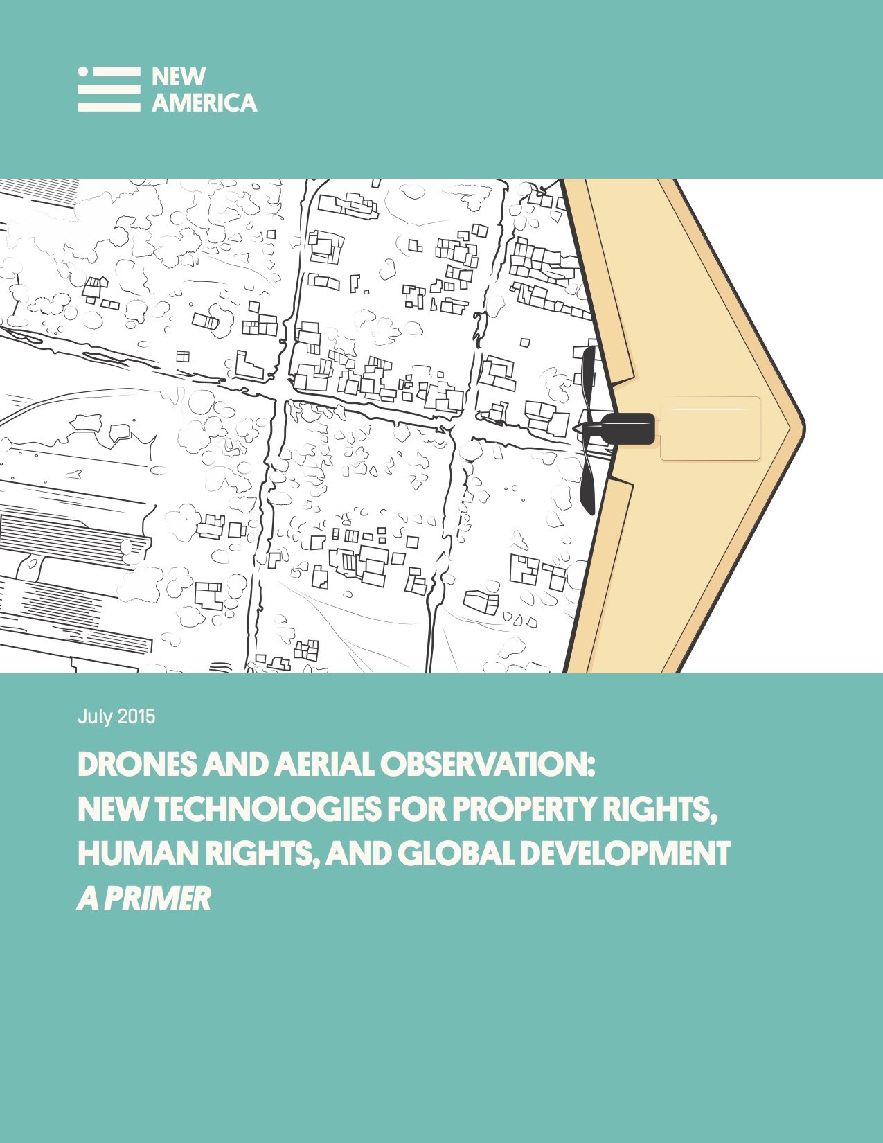
New America is pleased to publish a short book about how drones
can be used in furtherance of property rights and in other, related aspects of
global development. This book, or primer, is meant to be useful to
practitioners who fly drones, regulators who regulate them, and the general
public who seek to understand their capabilities and impact.
The primer is available for download at: drones.newamerica.org/primer
It begins with a capsule history of drones, describing the
coming together of a set of technologies―from
the Global Positioning System (GPS) to miniaturized gyroscopes and cheap
digital cameras―that have allowed small
drones to become powerful mapmaking devices.
Mathew Lippincott and Shannon Dosemagen of Public Lab, a
“civic science” group, try to answer the question: “How do we use
drones to get good data for good purposes?”
Faine Greenwood writes about the nuts and bolts of how to use
drones to make maps, from how to plan a route, to what software to use in
creating 3-dimensional models from aerial imagery. She then writes about drone
mapmakers in places like Indonesia, Albania, and Guyana, with an in-depth case
study on the Peruvian Ministry of Culture’s drone team.
Patrick Meier of UAViators, an association of humanitarian drone
pilots, writes about the use of drones in disaster response, for instance in
the aftermath of earthquakes earlier this year in Nepal. Serge Wich of
Liverpool John Moores University, an ecologist and drone pioneer, writes about
the use of drones in conservation. Drones have been used to study animals
ranging from orangutans to salmon, from the tropics to the poles. Wich provides
an authoritative account of drone use in scientific conservation efforts.
Konstantin Kakaes writes a chapter delineating the limits of
drones in the protection of human rights. Kakaes’s chapter discusses the
tradeoffs between drone and satellite imagery, and the changing role of
information in humanitarian response. The book concludes with a report by
Kakaes from the Democratic Republic of the Congo, the United Nations’ largest
peacekeeping operation. The eastern Congo has been at war for nearly twenty
years; the final chapter of the book tells the story of the Italian drones,
flown by American contractors that the UN uses to monitor the activity of
armed groups.
This primer was edited by Konstantin Kakaes. It is published in
conjunction with a website, drones.newamerica.org,
which comprises a database of global drone use in these sectors, as well as the
first comprehensive compilation of global drone regulations.
The primer and website are made possible with support of
Omidyar Network and Humanity United.
Future Tense Fellow; International Security Program Fellow; National Fellow, 2013