Table of Contents
Decision-making and Model Limitations
Jigjiga, Gilo, and Araarso are not very far apart and face some similar conditions. But looking once more through the lens of water, the three places represent clearly distinct situations. Each relies on a different type of water source; water may be primarily for human consumption, crops, or livestock; the biggest challenge may be supply, access, or quality. The governance structures and resources available vary from place to place, as do the priorities for their allocation. Each place has its own circumstances with their own dynamics, such as social cohesion, dictating its unique linkages between water and conflict.
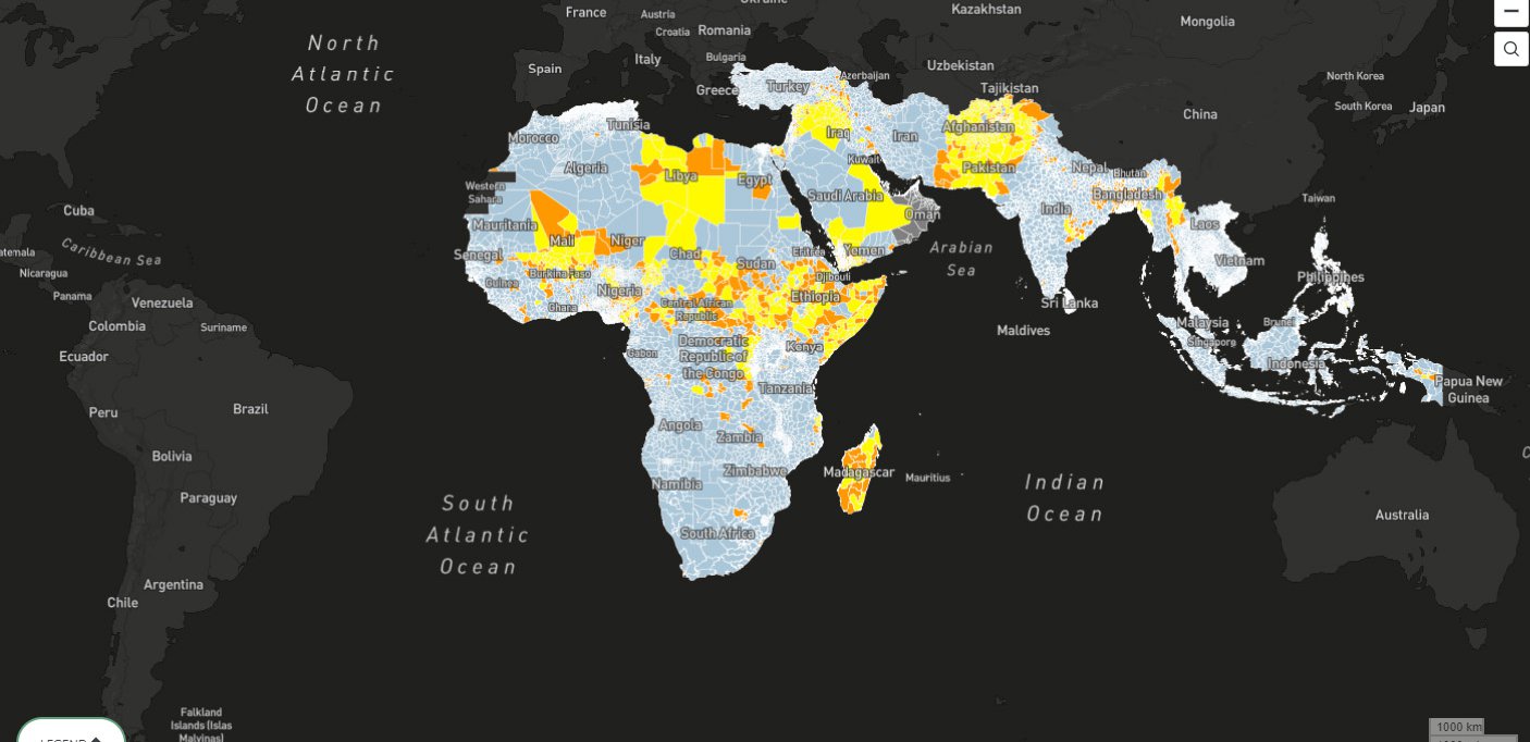
From the perspective of the model, these three places are not at all distinct: They are all part of the same second-level administrative unit (in this case, a zone). Because this is the spatial unit of analysis of the model, all locations within a zone are treated as one and the same. For each input indicator, a single numeric value is used to represent the entire zone; likewise, the model returns a single value meant to encapsulate the risk for that area.
Some degree of aggregation is necessary for building a global model. Data are simply not available at arbitrarily fine spatial resolution; conflict emerges across a real physical space, not merely at a point on a map. Administrative boundaries often mirror substantive differences in behaviors, practices, and societal structures. In addition, the tool ameliorates this issue somewhat by allowing users to inspect the underlying, unaggregated data.
Nevertheless, this aggregation inevitably blurs or erases variations in conditions within each district. Operating at the granularity of second-level administrative districts, while a noteworthy level of precision, is not nearly fine enough to capture highly localized factors that can shape a conflict. Because information is not consistently available—or even necessarily quantifiable—these elements are effectively invisible to the model. As a result, qualitatively distinct locations become quantitatively indistinguishable.
This is a critical limitation of the utility of the model, and one that is common to such models. Because even when there is a uniform risk forecast across a district, action does not occur at the aggregate level. Investment, infrastructure, food relief, mediation, and other interventions are specific. They happen at particular locations and times, hopefully according to the particular needs of the people there. The benefits, or harms, of a freshly drilled borehole are not diffusely distributed across the unit of analysis, but are localized and inherently uneven. A system blind to the specifics of local challenges and needs cannot guide efforts to address them. At the same time, a local actor who does understand the challenges may have a limited capacity for attracting the needed resources beyond the local community.
Even brief interviews with local actors made it abundantly clear that Jigjiga, Gilo, and Araarso face fundamentally different water security challenges, yet those differences remain largely invisible to the model as currently constructed. And, of course, conflict does not generally stay neatly within the boundaries of a coherent local community. So the question becomes how to make this local nuance available to a quantitative model in a way that would strengthen predictive insights for conflict, especially conflict that might spread.