Table of Contents
- Executive Summary
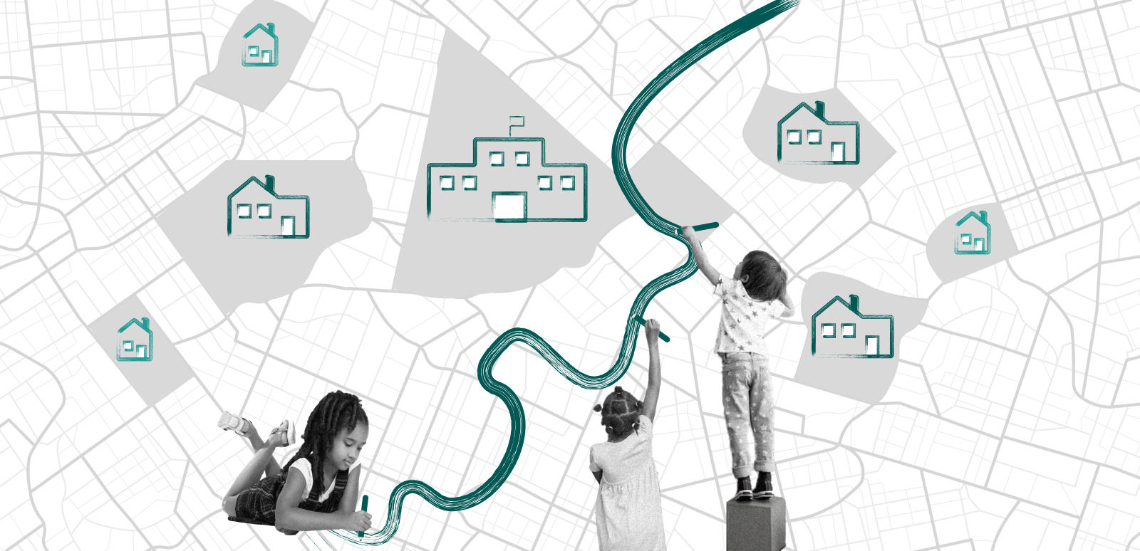
- I. Introduction
- II. The Past, Present, and Future of School System Redistricting
- III. Overview of Data and Methods
- IV. Gains from Three Approaches to School System Redistricting
- V. Achieving District Boundary Change: Lessons from a School System Leader
- VI. State Spotlights
- VII. A Time for Better Borders
- VIII. Interactive Map and Data Explorer
III. Overview of Data and Methods
Our analysis simulates three approaches to school system redistricting for 42 states. Due to limitations in available property valuation data, we were not able to simulate new districts for Alaska, Kansas, Kentucky, Maine, Minnesota, New Mexico, or South Carolina. Hawaii and the District of Columbia were also excluded from this analysis because they have only one school district apiece.
In each of the three models, we measured the impact of the redistricting in three priority areas: disparities in per-pupil property tax capacity, racial segregation, and economic segregation based on student poverty status.
Data Sources
The geographic data used for this project included 2020 census tract boundaries and 2022 school district boundaries from the U.S. Census Bureau.
Property value data were provided by the Center for Geospatial Solutions at the Lincoln Institute of Land Policy. These data included total property values based on each jurisdiction’s most recent assessment, aggregated to allow for analysis by census tract, school district, or county. Approximately 8 percent of census tracts lacked property assessment data. We leveraged demographic, economic, and spatial data from the American Community Survey to impute additional property values where it was possible to do so with high confidence. After imputation, states with less than 70 percent coverage in assessment data by geographic area, or less than 75 percent coverage by state population, were excluded from our analysis. These states were Alaska, Kansas, Kentucky, Maine, Minnesota, New Mexico, and South Carolina.
Racial and ethnic composition data came from the American Community Survey 5-year estimates (2018–2022) for the population ages 5–17. Child poverty rates were obtained from the Census Bureau's Small Area Income and Poverty Estimates program. This data source captured all school-age children residing in a geographic area regardless of whether they were enrolled in public schools.
Redistricting Approaches
Model 1, blank-slate redistricting, entirely replaces the state’s school district map with an optimized school district map. Simulated school districts are constructed out of census tracts (the smallest units for which the relevant data are available). The new districts in this blank-slate approach are drawn without regard for existing school system boundaries, to maximize potential gains in tax-base equality and integration.
Model 2, county-based redistricting, simulates school districts that align with existing county borders and shows the impact of adopting that model in all states.
Model 3, redistricting by merger, creates optimized school district maps by strategically merging each state’s existing school districts. It shows what levels of tax-base equality and integration can be attained without cutting across any existing school districts.
Optimization Priorities and Constraints
Model 1 (blank-slate redistricting) and Model 3 (redistricting by merger) produce different forms of optimized school district maps. In both cases, the optimization process was designed to maximize improvement in all three priority areas. The process aimed to minimize per-pupil property value disparities by bringing all districts as close as possible to the statewide amount of assessed property valuation per pupil. It also attempted to draw school districts whose resident school-aged populations mirror, as nearly as possible, the racial composition and poverty rate of the state’s overall population of school-aged children, reducing inter-district racial and economic segregation.
We added constraints to ensure that optimized district maps meet certain criteria. These included:
- Geographic contiguity: Each proposed school district must form a single, connected territory.
- Minimum enrollment: No proposed school district may have a potential enrollment below 50 percent of the state’s current lowest-enrollment school district.
- District count: No state can have a proposed map with fewer than 25 percent of its current number of school districts.
- School infrastructure capacity: The number of children residing in each proposed district may not exceed 125 percent of the sum of the number of children enrolled in the existing schools geographically located within the proposed district. The actual enrollment used for reference was that of the highest-enrollment year over the past 10 years.
Model 2 (county-based redistricting) does not produce an optimized map and is not subject to the above constraints, but the same three outcomes were measured for this model.
More detailed information about the data and methods used for this report, including the specific two-stage algorithmic pipeline used to create the optimized models, the mathematical formulation of the optimization framework, and the method for measuring improvement on the three priority outcomes, can be found in our technical appendix document.